
 EN
 PT_BR
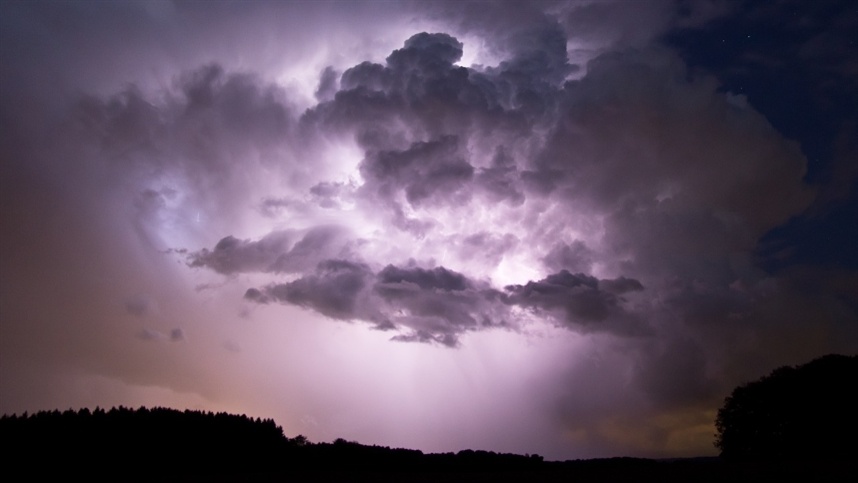
Extreme rains and severe storms are expected to hit Paraná, Santa Catarina and Rio Grande do Sul between Wednesday (21) and Sunday (25), with accumulated rainfall of up to 300 millimeters in Paraná expected until Monday (26). According to data released by Meteored, the formation of an extratropical cyclone and the advance of a cold front may intensify the storms over the weekend, with a risk of hail, gales, flash floods and flooding.
The alert extends to neighboring areas, including Mato Grosso do Sul and São Paulo. Northwestern Rio Grande do Sul is also among the regions that may experience high rainfall volumes, close to or exceeding 200 millimeters.
According to data released by Meteored, rainfall will begin to increase this Wednesday (21), especially in the west of the Southern Region, due to the formation of a trough, an elongated area of low atmospheric pressure.
Between Wednesday (21) and Friday (23), rainfall may reach unusual volumes. The scenario, however, is expected to worsen on Saturday (24) and Sunday (25), when the trough may give rise to an extratropical cyclone east of the Southern Region.
The ECMWF model forecast, analyzed using the Extreme Prediction Index (EFI), indicates areas with the possibility of daily rainfall exceeding 80 millimeters in 24 hours. This indicator compares the rainfall forecast with the model's own climatology and highlights values that differ significantly from the expected pattern for each region and time of year.
Until Monday (26), accumulated rainfall could reach between 200 and 300 millimeters in Paraná. In regions of Santa Catarina, Mato Grosso do Sul, São Paulo and in the northwest of Rio Grande do Sul, volumes could also approach or exceed 200 millimeters. The high volume of rain increases the risk of flash floods, floods and inundations, requiring attention from the population and the authorities.
In addition to heavy rains, the Southern Region is expected to face a series of storms that are likely to intensify throughout the week. According to data released by Meteored, the formation of the extratropical cyclone and the advance of its cold front should favor the organization and intensification of storm systems over the weekend.
On Wednesday (21), storms are expected to concentrate in the western strip of Rio Grande do Sul, Santa Catarina and Paraná, with the possibility of advancing to the Londrina region, in northern Paraná. There is a risk of hail in these areas.
On Thursday (22), storms are expected to continue forming in these regions. Between the afternoon and evening, more intense systems may spread across Rio Grande do Sul, maintaining the risk of hail.
On Friday (23), storms are expected to intensify during the early morning and throughout the day, especially in the west of the Southern Region. In these areas, the highest rates of lightning strikes are expected, while the risk of hail remains in the three states. Severity indicators point to more favorable conditions for the occurrence of intense phenomena in Rio Grande do Sul.
On Saturday (24), storms are expected to continue over the Southern Region, particularly in northern Rio Grande do Sul, western Santa Catarina and the western half of Paraná during the early morning and morning hours. The high density of lightning strikes predicted in these areas indicates the potential for more intense and organized storms, with a risk of hail and gales. Throughout Saturday, the systems are expected to move towards the coast, reaching areas of Santa Catarina and Paraná.
On Sunday (25), Paraná should concentrate the most favorable conditions for the occurrence of severe storms, especially in the north of the state, where more intense systems are expected with a risk of hail. There is also a possibility of isolated storms in Santa Catarina.
According to data released by Meteored, the occurrence of extreme wind phenomena, such as microbursts, downbursts—descending air currents that hit the ground and spread horizontally—and isolated tornadoes, cannot be ruled out. Although it is not possible to determine precisely where and when these phenomena may occur, the predicted atmospheric conditions indicate potential for their formation between Wednesday and Sunday.
The combination of heavy rain, severe storms, and strong winds could cause disruptions in different areas of the three states, especially in regions with the highest accumulated rainfall.
Given the forecast of extreme rainfall and severe storms, the recommendation is to follow the alerts issued by Civil Defense and meteorological agencies.
During storms, avoid staying in open areas, do not take shelter under trees or vulnerable structures, and keep your distance from windows and glass doors. It is also essential not to cross flooded areas, whether on foot or by car, due to the risks associated with the force of the water and the depth of the flooding. In emergency situations, the public can contact the Fire Department at 193 or Civil Defense at 199.