EN
EN  PT_BR
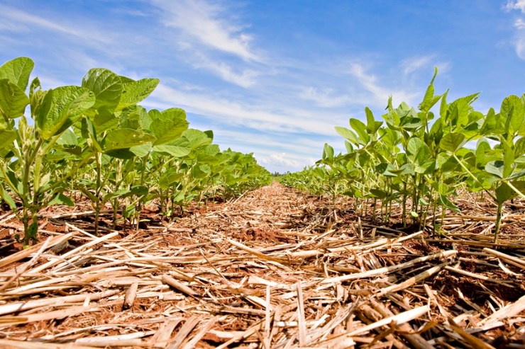
PT_BR Despite the rains recorded in the last ten days in parts of the South, Southeast, and Midwest, soil moisture remains below average in important producing regions. "This deficit has kept the planting pace slow, especially in the Midwest and Matopiba regions, where many producers are waiting for more favorable conditions to ensure crop establishment," assesses Felippe Reis, crop analyst at EarthDaily.
In Mato Grosso, the rains returned at the beginning of the second half of September. However, the volumes predicted for the coming days tend to be lower, which may restrict water recovery in the short term. In Goiás, after the rains of the last week, the forecast indicates the return of drought in the next 14 days, a scenario that may slow the pace of planting at the beginning of October.

Photo: Disclosure/Embrapa Soja
In Mato Grosso do Sul, from the central to the northern part of the state, there have been recent rainfalls, but the volumes were considered very low for this time of year. According to the European model (ECMWF), the trend is for the drought to continue in these areas.
In Paraná, the heavy rain recorded on September 22nd caused momentary concern, but the forecast indicates milder rainfall in the coming days, a favorable condition to avoid waterlogging of wheat crops and ensure uniform germination of summer crops.
Reis explains that, in areas of the Southeast and Midwest, rainfall volumes varied between 30 mm and more than 100 mm in the last ten days. However, in the South region, rainfall exceeded the historical average, increasing soil moisture and favoring the planting of soybeans and summer corn.
Impacts on other cultures
The rains also affected the sugarcane harvest. In the greater Ribeirão Preto region, for example, the accumulated rainfall of almost 12 mm was enough to temporarily interrupt field operations. The forecast, however, indicates the return of dry weather, which should favor the resumption of agricultural activities.
In the short term, both the European ECMWF and the American GFS models indicate below-average rainfall in most of the country, with the exception of areas in the Northeast. Regarding temperatures, there is a divergence between the models: while the ECMWF indicates near-average readings, the GFS predicts above-normal heat in the Central-West, North, and part of the Northeast. This condition may intensify evapotranspiration and worsen soil moisture loss in regions already affected by drought.